Tikei Island FP
Wednesday, December 27, 2006
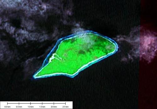
Tikei Island - Landsat Image S-06-10_2000 (1-25,000)
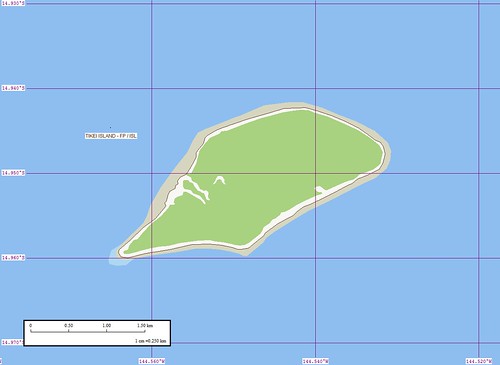
Tikei Island - Marplot Map (1-25,000)
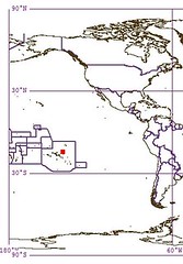
Tikei Island (14˚58'S., 144˚33'W.) is a small island about 60 miles NE of Aratika. The only landing place is at a small village on the W extremity of the island, and it is difficult.
Tikei Island is a poorly researched island. It is not a typical Tuamotu atoll, but an island. It is a low island that most likely was an atoll many millions of years ago. The lagoon is gone and the island is covered with heavy vegetation.
Enjoy!
Labels: atoll, EVS, France, Global Mapper, island, Landsat, map, Marplot, Pacific, Polynesia, Tuamotus
posted by Mr Minton at 9:54 AM
![]()


0 Comments:
Post a Comment
<< Home