Peng-hu Tao TW
Tuesday, December 26, 2006
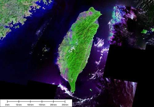
Taiwan - Landsat Image N-50-20_2000 & N-51-20_2000
Located in the Taiwan Straits between mainland China and Taiwan is the group of islands called the Peng-hu Tao (aka The Fisherman Islands).
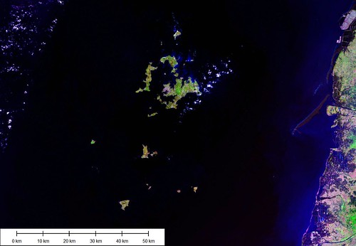
Peng-hu Tao - Landsat Image N-50-20_2000 & N-51-20_2000
They are low lying islands peppered with coral reefs throughout. A couple of the southern islands are uplifted rocks. All of the others are merely meters above the water. Today they are destinations for tourists from all over the world. They offer the appeal of the Chinese culture and the escape of an island.
I had posted images and maps of these islands earlier, but I thought I would repost them all at a consistent scale (1:150,000). The maps are rendered in my EVS Shoreline style which shows mapping of traditional shorelines only.
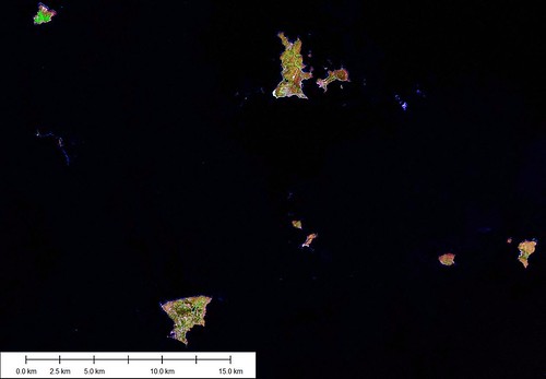
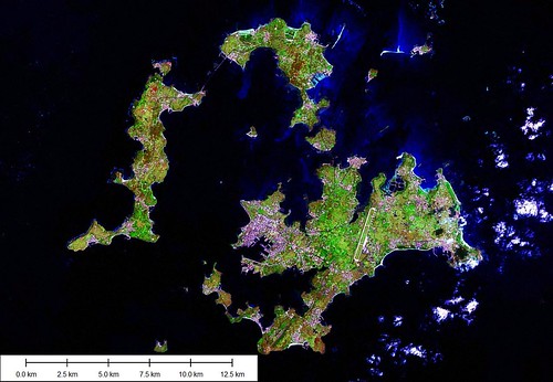
Peng-hu Tao (Southern Group) - Landsat Image N-50-20_2000 & N-51-20_2000
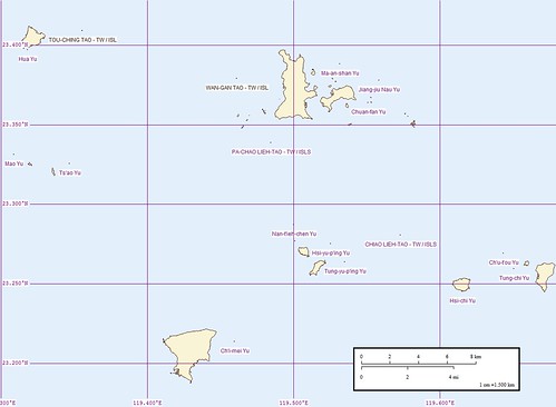
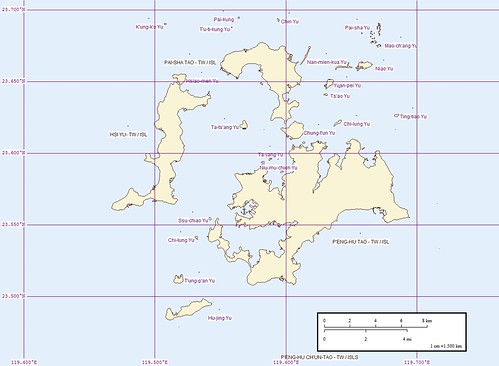
Peng-hu Tao (Southern Group) - Marplot Map
Peng-hu Tao (Middle Group) - Landsat Image N-50-20_2000 & N-51-20_2000
Peng-hu Tao (Middle Group) - Marplot Map
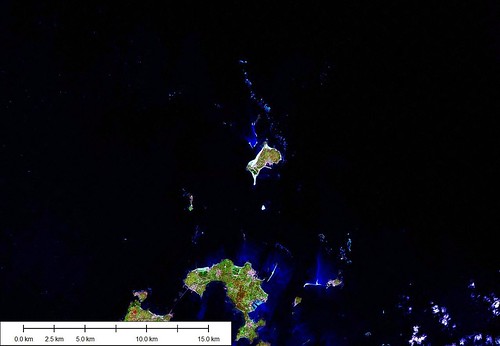
Peng-hu Tao (Northern Group) - Landsat Image N-50-20_2000 & N-51-20_2000
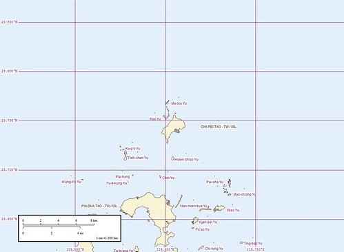
Peng-hu Tao (Northern Group) - Marplot Map
Enjoy!
Labels: atoll, EVS, island, Landsat, map, Marplot, Pacific, Taiwan
posted by Mr Minton at 11:34 AM
![]()


0 Comments:
Post a Comment
<< Home