Motu One FP
Tuesday, December 26, 2006
The mystery island of the Marquesas. Now you see it! Now you don't!
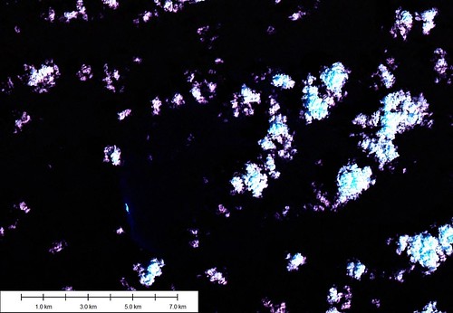
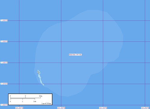
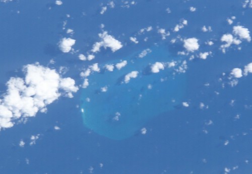
In the early days of sailing this reef, with it's small motu, was often misplotted, mischarted and mistaken. With the advent of Landsat images and Shuttle photography the mystery island is now precisely located northeast of Eiao (30-km) and Hatutu Islands (15-km). It's reef outline is based on shuttle imagery. I believe that a few hardy sailors have explored this reef both on land, scant tho' it be, and under the sea diving along it's extensive reefs.
Enjoy!
Labels: atoll, EVS, Global Mapper, island, ISS Image, Landsat, map, Marplot, Marquesas, Pacific
posted by Mr Minton at 11:41 AM
![]()


0 Comments:
Post a Comment
<< Home