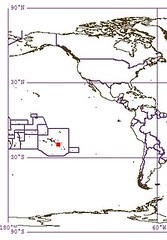
Pinaki Atoll FP
Wednesday, December 27, 2006
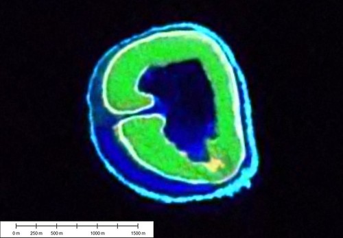
Pinaki Atoll - Landsat Image S-07-15_2000 (1-15,625)
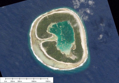
Pinaki Atoll - Shuttle Image ISS-004-E-12986 (1-15,625)
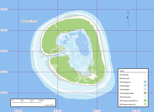
Pinaki Atoll - Marplot Map (1-15,625)
Pinaki Atoll, according to various sources, is uninhabited. It is visited on occassions by villagers from Nukutavake Island 14-kms to the NW.
My original post containing the Landsat image, which I had used as base imagery, and my Marplot map. At the time, the map was solid at depicting features that were derived from the Landsat image.
Since those early efforts I have discovered other sources of base imagery. Most often, I will use Google Earth imagery. It is typically 1-meter imagery. I will also use Shuttle imagery. Although, it is typically very high quality. However, you have to align and occassionally stretch and skew the imagery.
I used a Shuttle image for my base imagery. I was able to georectify it using four ground control points. The map I was able to produce corrects many Landsat imprecisions.
I typically keep my single island posts simple - orientation map, image and map. This time I am going to include a Flickr slideshow. The Smithsonian has a large collection of archived photos and reports. One of these series of photos are of Pinaki Atoll. They were taken by Charles Townsend Haskins in 1900.
Pinaki Atoll FP - From a 1900 Exploration Trip
Enjoy!
Labels: atoll, Digital Globe, EVS, Global Mapper, Google Earth, island, Landsat, map, Marplot, Pacific, Polynesia, Smithsonian, Tuamotus
posted by Mr Minton at 10:28 AM
![]()


0 Comments:
Post a Comment
<< Home