Banana Islands SL
Wednesday, December 27, 2006
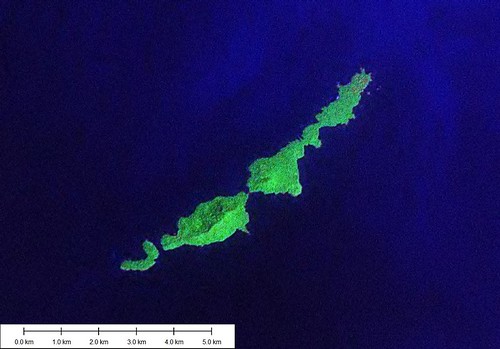
Banana Islands - Landsat Image N-28-05_2000 (1-50,000)
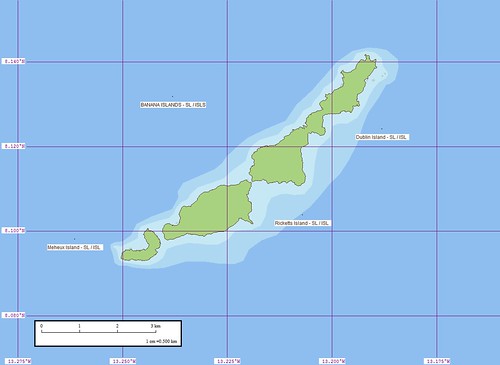
Banana Islands - Marplot Map N-28-05_2000 (1-50,000)
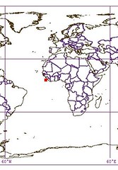
The Banana Islands are located 20-kms outside of Freetown SL. Apparently, people live on the two northern islands that are connected by a causeway. The third island, Meheux, is uninhabited. These islands are popular with tourists, now that the civil war is over.
These islands were home to British missionaries. For many years the small settlement was a small piece of Victorian England off of the coast of Sierra Leone.
What was my inspiration for mapping these islands? It has to do with a project that I kick around periodically - building an atlas of islands. As I was chopping the world up into 1-degree tiles, I happened on these islands. They looked interesting, so I mapped them.
Enjoy!
Labels: Africa, Atlantic, EVS, island, Landsat, map, Sierra Leone
posted by Mr Minton at 10:30 AM
![]()


0 Comments:
Post a Comment
<< Home