Ponam Island PP
Wednesday, December 27, 2006
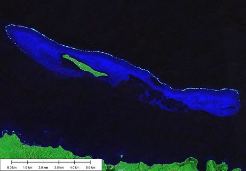
Ponam Island - Landsat Image S-55-00_2000 (1:60,000)
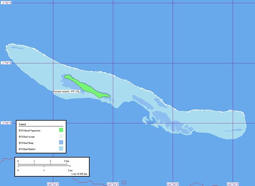
Ponam Island - Marplot Map (1:60,000)
Ponam Island was a fast project. I saw the image of Manus Island (large island to the south) and picked off one of the small islands that fringe the large island. As you can see, Ponam Island is reef fringed. The mother country is Papua New Guinea (PP).
Enjoy!
Labels: EVS, island, Landsat, map, Marplot, New Guinea, Pacific, Papua, reef
posted by Mr Minton at 10:53 AM
![]()


0 Comments:
Post a Comment
<< Home